Calgary Riparian Monitoring Program

Project Highlights
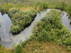
Riparian areas are lands located adjacent to waterbodies that provide many ecological, social and economic benefits including flood and drought resilience, water quality protection, biodiversity, and recreational amenities. The City of Calgary (The City) is committed to conserving and improving the ecological health of riparian areas in Calgary as outlined in the Riparian Action Program (RAP). The RAP established actions to protect and manage riparian areas, with a key focus on improving riparian health in Calgary over time, and monitoring riparian health and evaluating performance in progressing towards a target value of 72% in 2026.
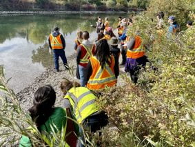
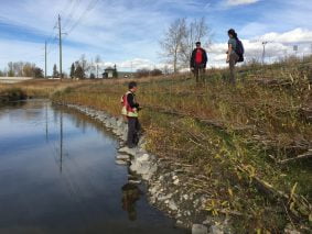
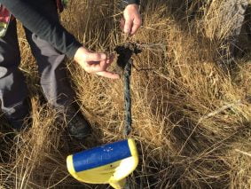
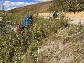
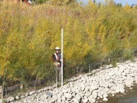
In 2017, The City initiated the Riparian Monitoring Program (RMP) to meet the RAP commitments for monitoring, and gather knowledge about long-term trends in riparian health, and the effectiveness of riverbank bioengineering and riparian planting restoration techniques in Calgary. The City engaged a team led by Kerr Wood Leidal Associates Ltd. supported by the Alberta Riparian Habitat Management Society (Cows and Fish), Terra Erosion Control Ltd., Longview Ecological, the National Research Institute for Agriculture, Food and the Environment of France, and Ausenco Sustainability ULC to deliver the project.
The RMP was designed as three phases. The first 2 phases are complete and are described below.
- Phase 1 was completed in 2018 and consisted of the development of a Monitoring Plan that included the development of sampling and analysis protocols.
- Phase 2 was undertaken as a five-year monitoring and assessment program between 2018 and 2022 that included refining sampling and analysis protocols, data collection, data analysis, and reporting.
Phase 2 of the program was guided by the following general objectives:
- Assessment of riparian health improvement in Calgary, primarily for major rivers and streams.
- Assessment of long-term trends in riparian health and progress towards meeting The City’s riparian health target.
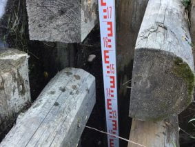
- Evaluation of the effectiveness and the success of bioengineering and riparian planting techniques, post-construction conditions, and changes resulting from implemented projects.
- Creation of recommendations for design improvement and construction and maintenance practices.
- Production of annual monitoring reports and a final program report.
The results of Phase 2 are summarized in a Final Program Report that is accessible via Calgary.ca/riparian.
The RMP is helping to fill a key technical and scientific knowledge gap where the successful application and long-term impact of bioengineering and riparian restoration projects is not always understood due to limited post-construction performance monitoring. Until now there have been few monitoring studies conducted for bioengineering projects in Calgary or elsewhere in the province, across North America, or worldwide and none as thorough as the RMP.
The RMP is then globally unique and of great benefit since long-term performance monitoring data, analysis and results for bioengineering and riparian restoration practices are being freely shared with practitioners, researchers, and the public via Calgary.ca/riparian. The information shared from the RMP directly supports improvement in project design, implementation, and maintenance and overall success locally in Calgary, but also across Alberta, Canada, and internationally.
A summary of the program outcomes for the riparian health trend, bank effectiveness and riparian effectiveness components is provided below.
- 16 years of riparian health trend monitoring (2007-2022) data and results from 122 individual sites that cover 591 ha of riparian area and 84 km of riverbank across all major streams and rivers in Calgary (Bow River, Elbow River, Nose Creek, and West Nose Creek) and several tributaries (e.g., Forest Lawn Creek).
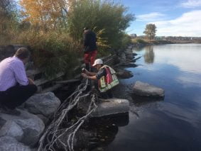
- Five years of bank effectiveness monitoring data and results from 69 individual sites and 99 assessments that cover 7.6 km of riverbank and 10,912 sampled trees and shrubs across all major streams and rivers in Calgary (Bow River, Elbow River, Nose Creek, and West Nose Creek) and several tributaries (e.g., Shaganappi Creek, Confederation Creek, Forest Lawn Creek).
- Five years of riparian effectiveness monitoring data and results from 42 individual sites and 59 assessments that cover 16.5 km of bank length, 228 ha of bank area, and 5,457 sampled trees and shrubs across all major streams and rivers in Calgary (Bow River, Elbow River, Fish Creek, Nose Creek, and West Nose Creek).
Long-term monitoring of the Bioengineering Demonstration and Education Project (BDEP) is also included in the RMP as a special project. The monitoring objective for this site is to show how the project has improved fish habitat, wildlife habitat, riparian health, and bank structural integrity compared to a conventional riprap site. The site is being monitored over a 10-year period, with monitoring activities occurring in years 1, 2, 3, 5, and 10 post-construction (i.e., in 2019, 2020, 2021, 2023, and 2028). Monitoring program results are available at (Calgary.ca/bdep).
Key Contact(s)
Craig Kipkie Vice President – Strategic Initiatives
Mike Gallant Branch Manager (Calgary), Water Resources Engineer
Dave Murray Water Resources Engineer
Ryan Taylor GIS Coordinator


